Byron has been working on maps of the interior roads of our area for weeks. One of the biggest problems we had on our road trip all around Northeast Bahia last fall was a lack of good maps. There just are no maps for our area. Yes, Google Maps can show you where any little trail goes, but it doesn't show you if it's dirt, rock, has locked gates, et cetera. It also doesn't even indicate that some paths are real roads.
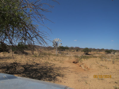
But there are many communities down these dirt roads without churches and easy access to the bigger cities that have them. We always find interesting things down these sandy paths. Today we found this old wind mill near a water desalination plant.
We never were more than 50 miles from our house in Sobradinho today but going is slow when the roads are rough. We left the house around 8 o'clock in the morning and got home around 3 in the afternoon with a brief stop for lunch near this very unusual creek with clear, flowing water.


We're very excited to get busy with our travels, but are patiently preparing to make sure we do things right in this new venture. Thank you for your prayers on our behalf.


But there are many communities down these dirt roads without churches and easy access to the bigger cities that have them. We always find interesting things down these sandy paths. Today we found this old wind mill near a water desalination plant.
We never were more than 50 miles from our house in Sobradinho today but going is slow when the roads are rough. We left the house around 8 o'clock in the morning and got home around 3 in the afternoon with a brief stop for lunch near this very unusual creek with clear, flowing water.

In our very arid part of Brazil finding a creek bed that actually has water is a rare find indeed. We enjoyed the shade for a quick lunch. We passed through about 28 communities with anywhere from 5 to 50 houses each. We saw one Baptist church, two Seventh Day Adventists, and a small Catholic chapel along the way.
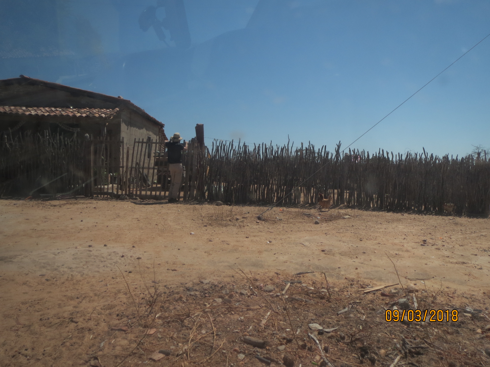
Byron stopped and spoke with individuals in several places asking about Christians in the area, churches that come by from time to time, and about the possibility of us starting Bible studies. He had good chats with several.

Sounds like a sucessful trip.
ReplyDelete